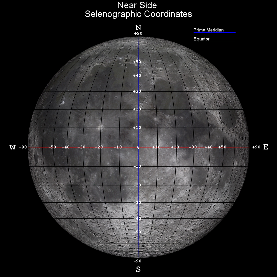
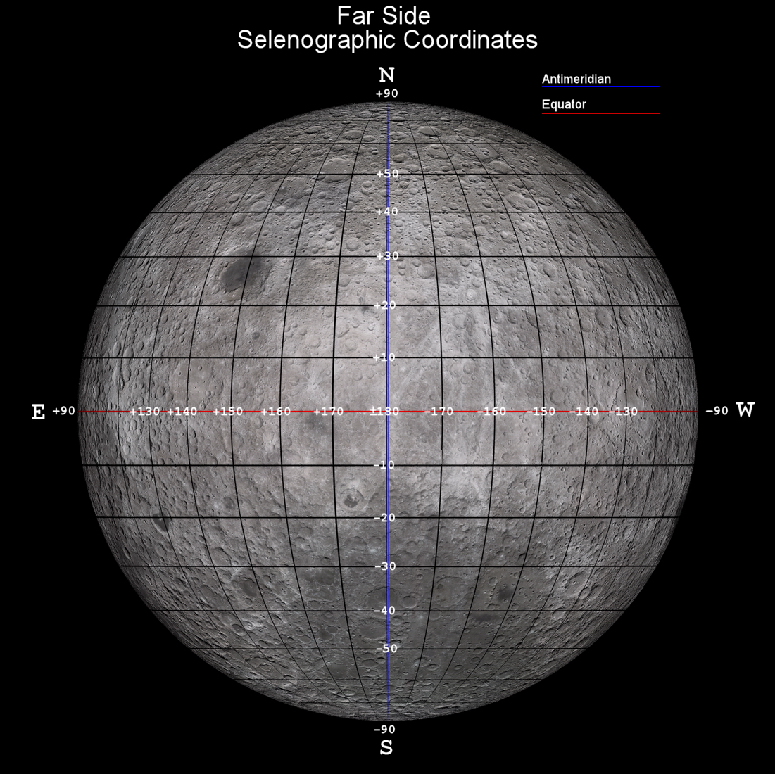
- The selenographic (lunar surface) coordinate system mimics the same latitude and longitude system used on Earth, the (0,0) origin of coordinates being at the center of the vertically and equatorially aligned lunar disc.
- As on Earth, longitudes are measured positively towards the east and negative longitudes are reckoned westward with respect to the lunar prime meridian.
- The coordinates (0, −180) or (0, +180) both refer to the center of the far (hidden) side of the moon.
- The coordinates (0, −90) refer to the center of the lunar western hemisphere.
- The coordinates (0, +90) refer to the center of the lunar eastern hemisphere.
- The coordinates (+0.67409, +23.47298) refer to the latitude and longitude of Tranquility Base, the coordinates of the very first manned lunar landing.
The selenographic (lunar) coordinate system is analogous to the latitude/longitude system
on Earth. The diagram above shows the front face of the moon with a 10×10-degree
selenographic coordinate grid overlay.
|